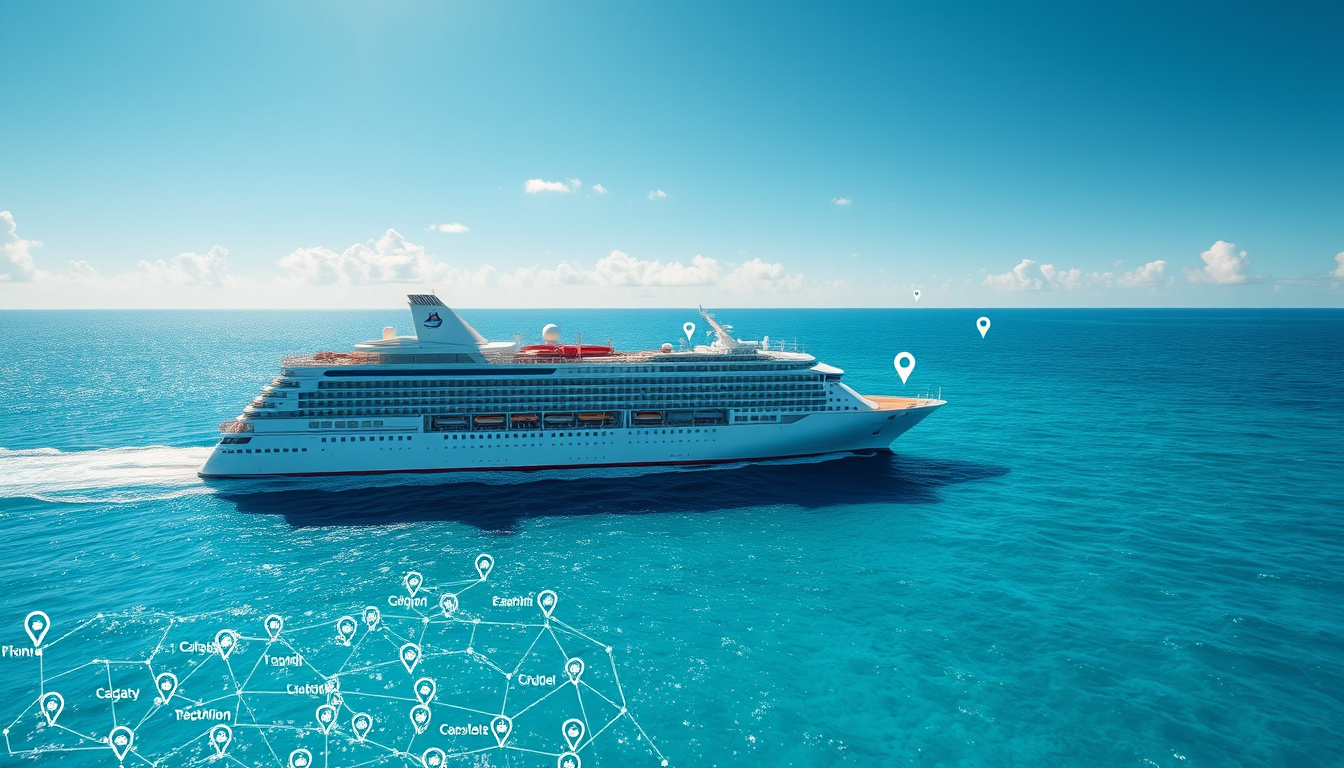
Tracking a cruise ship in real time has become remarkably accessible, thanks to AIS-based monitoring platforms that display live positions on interactive maps. Whether following a family member’s voyage, planning a port meetup, or simply monitoring a ship’s progress, dedicated trackers offer precise data without subscription fees. This guide examines the leading tools, their capabilities, and the technology powering modern cruise ship tracking.
For those wondering how to monitor a vessel’s location, several free platforms aggregate AIS data from global networks, presenting positions alongside itineraries, speeds, and estimated arrival times. The options range from general maritime trackers with broad vessel coverage to cruise-specific services optimized for leisure ships.
What Is the Best Cruise Ship Tracker?
MarineTraffic stands as the global leader in vessel tracking, monitoring over 800,000 ships daily with real-time AIS positions. The platform provides vessel details including type, flag, speed, destination, and route history, with interactive maps featuring filters by type, status, and route. Coverage comes through both land-based stations and satellite AIS, with free basic access and dedicated apps for iOS and Android offering push notifications.
MarineTraffic, VesselFinder, CruiseMapper
Real-time AIS position updates
Live positions, itineraries, ETAs
Yes, with premium upgrades available
Key Insights for Tracking Cruise Ships
- AIS covers more than 90% of vessels meeting international standards
- Mobile apps enable push notifications for port arrivals and departures
- Cruise-specific trackers offer itineraries alongside live positions
- Terrestrial AIS provides highest accuracy near coastlines
- Satellite AIS enables open-ocean coverage with longer update intervals
- Free tiers typically include basic tracking; paid plans add historical data
Comparing Top Cruise Ship Trackers
| Tracker | Live Map | Mobile App | Cruise Focus | Key Strengths |
|---|---|---|---|---|
| MarineTraffic | Yes | iOS/Android | Strong | 800K+ ships daily, extensive filters |
| VesselFinder | Yes | iOS/Android | Good | Ship photos, notifications |
| CruiseMapper | Yes | Web-optimized | Excellent | Itineraries, deck plans, cruise news |
| CruisingEarth | Yes | Web | Good | Easy search by line, ETAs |
| CruiseSheet | Yes | Web | Excellent | 180+ cruise ships, port guides |
How Do I Track a Cruise Ship in Real Time?
The process involves searching for a specific vessel by name, cruise line, or geographic area on a tracking platform. Users enter details such as “Icon of the Seas” for Royal Caribbean or simply browse live icons on the map. Tapping a ship’s icon reveals detailed information including speed, heading, destination, and estimated arrival times.
Step-by-Step Tracking Process
Begin by accessing a tracking platform through a web browser or mobile app. Enter the cruise ship name or select the cruise line to filter results. The live map displays vessel positions with icons representing each ship. Selecting an icon opens a panel showing current coordinates, speed, course, and destination port. Users can enable notifications to receive alerts when the ship approaches ports or changes course.
Enable alerts for specific vessels to receive push notifications when the ship enters port, departs, or deviates from its planned route. This proves especially useful for family members wanting to know exactly when a ship arrives at its destination.
Platform Access and Requirements
Basic tracking functions work without creating an account on most platforms. Mobile apps for iPhone and Android devices provide on-the-go access through app stores or mobile browsers. Some platforms offer 3D globe visualizations alongside traditional map views, displaying route replays and detailed vessel statistics.
What Is AIS and How Does It Track Cruise Ships?
AIS (Automatic Identification System) is an automated tracking system mandated by the International Maritime Organization for vessels engaged in international voyages over 300 gross tons. The system broadcasts vessel positions every 2-10 seconds when moving, or every 3 minutes when anchored, transmitting data including MMSI identification, speed, heading, and destination information.
Data Sources and Coverage Types
Terrestrial AIS stations positioned along coastlines provide the highest accuracy for vessels within range, typically offering updates within seconds. Satellite AIS (S-AIS) extends coverage to open ocean areas where land-based stations cannot reach, though updates occur less frequently, sometimes every 15 minutes or more. Platforms like MarineTraffic and VesselFinder combine both sources to ensure continuous tracking across all ocean regions.
AIS transmission rates vary based on vessel speed and status. Moving ships transmit every few seconds, while anchored vessels send updates every few minutes. Satellite coverage in remote areas may introduce additional delays, meaning real-time accuracy depends on the ship’s location and available receiver stations.
Accuracy Considerations
Position accuracy depends largely on whether a ship actively transmits AIS signals and the density of receiving stations in the area. Near coastlines, tracking precision reaches its highest levels due to strong terrestrial coverage. Open ocean tracking relies on satellite reception, which may introduce delays. Not all vessels enable AIS transmission, creating potential gaps in coverage for smaller or privacy-conscious operators.
Can I Track Specific Cruise Lines?
Major cruise lines including Royal Caribbean, Carnival, and Norwegian Cruise Line are well-covered across all major tracking platforms. CruiseMapper and CruiseSheet specialize in cruise-specific data, offering detailed ship profiles alongside live positions.
Cruise Line Coverage Details
Royal Caribbean ships appear frequently on tracking maps, with vessels like Icon of the Seas, Wonder of the Seas, and Symphony of the Seas broadcasting positions throughout their voyages. Carnival Cruise Line maintains strong AIS visibility across its fleet of over 20 ships. Norwegian Cruise Line vessels also transmit regularly, enabling passengers and admirers to follow their itineraries in real time.
Some older vessels or smaller cruise lines may have limited AIS coverage. Additionally, certain ships may disable AIS transmission in specific circumstances, resulting in temporary gaps in tracking data. Always cross-reference multiple platforms for the most complete picture of a specific vessel’s location.
Itinerary Information Available
Beyond live positions, cruise-focused trackers display full itineraries including scheduled ports, departure times, and historical route data. CruiseMapper provides deck plans, port information, and cruise industry news alongside tracking features. CruiseSheet offers hourly position updates with arrival and departure times for over 180 cruise ships.
The Evolution of Ship Tracking Technology
Maritime tracking has transformed dramatically since the International Maritime Organization mandated AIS for larger vessels. Understanding this progression helps contextualize current capabilities and future possibilities.
Timeline of Key Developments
- 2000: IMO adopts AIS requirements for international voyage vessels, establishing the framework for mandatory tracking.
- 2007: MarineTraffic launches, becoming one of the first public platforms aggregating AIS data for general audiences.
- 2010s: Satellite AIS coverage expands significantly, enabling open-ocean tracking beyond coastal reception zones.
- 2015-2020: Mobile apps proliferate, bringing real-time tracking to smartphones and tablets.
- 2024-2025: Advanced visualization features emerge, including 3D globe tracking and AI-enhanced predictive analytics.
What Information Is Reliable and What Remains Unclear?
When using cruise ship trackers, distinguishing between confirmed data and potential gaps helps set appropriate expectations for tracking accuracy.
Established Information
- Live position coordinates when AIS is active
- Ship name, type, and identification codes
- Current speed and heading direction
- Scheduled ports of call (from cruise line calendars)
- Flag state and vessel ownership details
Information That May Be Unclear
- Real-time accuracy in remote ocean areas
- Whether AIS transmission is currently enabled
- Passenger counts and onboard conditions
- Weather conditions affecting voyage schedules
- Short-term itinerary changes or deviations
Why Track Cruise Ships and Who Benefits?
Live cruise ship tracking serves diverse purposes across passenger families, cruise enthusiasts, and maritime industry observers. The technology transforms how people engage with cruising beyond the moment of boarding.
Families with loved ones aboard use tracking to monitor progress during longer voyages, particularly when communication options remain limited. Cruise enthusiasts research vessel movements to plan future trips, compare ship performances, and study route efficiency. Travel planners coordinate port meetups or organize shore excursion timing based on accurate arrival data.
The underlying AIS infrastructure, established through IMO safety standards, provides transparency that benefits multiple stakeholder groups while maintaining operational security for commercial shipping interests.
Expert Sources on Maritime Tracking Standards
The International Maritime Organization requires AIS carriage aboard ships engaged on international voyages over 300 gross tons, as well as cargo ships over 500 gross tons engaged in domestic voyages and all passenger ships regardless of size.
— International Maritime Organization, AIS Mandate Guidelines
Modern AIS data combines terrestrial and satellite reception to achieve near-global coverage, with update frequencies varying based on vessel activity and available receiver infrastructure.
— Maritime Industry Analysis, Vessel Tracking Technology Review
Summary: Choosing Your Cruise Ship Tracker
For comprehensive general tracking with extensive vessel databases, MarineTraffic offers the most complete picture across all ship types. Cruise-specific enthusiasts benefit most from CruiseMapper or CruiseSheet, which combine live positions with itinerary schedules and port details. Those seeking a straightforward interface with good cruise coverage should consider VesselFinder, which balances functionality with ease of use.
Mobile users will find dedicated apps for iPhone and Android provide the most convenient tracking experience, while web browsers offer fuller feature sets for detailed research. For those planning port visits or coordinating arrivals, combining multiple trackers ensures the most accurate and current information. Related guides on cruise itinerary planning can complement tracking data for comprehensive travel preparation.
Frequently Asked Questions
What is AIS and how does it track cruise ships?
AIS (Automatic Identification System) is a maritime tracking technology that automatically broadcasts vessel positions, speed, and heading. Cruise ships meeting international size requirements must carry AIS transponders, making most modern vessels visible on tracking platforms.
How accurate are cruise ship trackers?
Tracking accuracy varies by location and available receiver coverage. Near coastlines, positions update frequently and precisely. Open ocean tracking relies on satellite reception, which may introduce delays of several minutes or more between updates.
Are there live maps for cruise ship positions?
Yes, all major tracking platforms including MarineTraffic, VesselFinder, CruiseMapper, and CruiseSheet provide live interactive maps showing cruise ship positions updated in near real-time.
Can I track Royal Caribbean, Carnival, and Norwegian ships?
Yes, major cruise lines including Royal Caribbean, Carnival, and Norwegian are well-covered on all top tracking platforms, with dedicated cruise trackers offering the most detailed itinerary and schedule information.
Is there a free cruise ship tracker app?
All major platforms offer free tiers with basic tracking features. MarineTraffic, VesselFinder, CruiseMapper, CruisingEarth, and CruiseSheet provide complimentary access to live positions and vessel details.
Do cruise ships always have AIS enabled?
Most cruise ships operating internationally must carry active AIS, though transmission can be disabled under specific circumstances. Not all vessels worldwide meet this requirement, and some may choose to limit visibility in certain situations.
How often do AIS signals update?
AIS transmits positions every 2-10 seconds for moving vessels and every 3 minutes for anchored ships. Satellite coverage areas may experience longer intervals between updates depending on satellite passage timing.
Related stories



Liam O'Brien covers Australian politics and public affairs for Australia Current.